
Geographic Information System (GIS) is an automated information system designed to collect, store, process, access, display, and disseminate geospatial data. Modern GIS systems include one or several databases, and a complete information processing technology. By now it outgrew the old-school “working with the database.” Logistics mapping software is designed mostly for expert assessments and purposeful analytics. The data processed and stored by the geographic information system does not only have spatial but also temporal reference.
How GIS helps optimize logistics and transport management
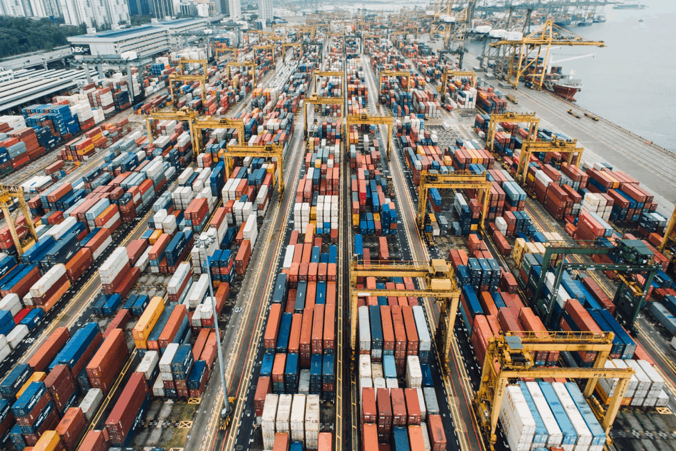
To ensure the profitability and reliability of transportation, GIS transportation planning allows you to manage the infrastructure, draw up traffic schedules, use it in information systems for passengers, emergency services, plan traffic volumes, and marketing activities. The use of GIS and transportation planning tools for working with spatial geographic data in combination with a visual and integrated display of information about the transport system allows us to create convenient and practical tools for making management decisions, optimizing work in individual departments, and the entire transport system as a whole.
Using the embedded system, it is possible to solve the following tasks and display the results:
- Produce a detailed map of the entire network of highways, infrastructure, administrative divisions, and governing bodies;
- Help assess the state of road networks and repair work, freight terminals and their congestion, monitoring of ancillary services, and their exact location.
- Provide coverage of adjacent territories with industrial facilities — the primary consumers of transport services, their needs for rolling stock according to planned orders.
- Supply the auxiliary transport system communication facilities.
- Maintaining detailed information on passenger traffic, routes, and congestion. Designing new routes, analysis of existing ones.
- Allow analysis of traffic flows, loading nodes, and sections to increase the economic efficiency of network operation.
- Tracking the distribution of rolling stock in the territorial sections of highways in real-time, the ability to quickly regroup, avoid congestion, accumulate empty and overload nodes.
- Optimization of commercial use of rolling stock, reduction of idle mileage, management of transport loads.
- Prevent and eliminate the consequences of accidents, the ability to quickly allocate the necessary resources.
- Plan the map of new objects and paths and georeference various materials: photographs, plans, etc.
- Generate reports on the state of the managed network, both by territorial characteristics and by standard requests.
Besides, with the help of Aspectum geographic information systems using GPS technology, you can continuously monitor the location of essential or dangerous goods. Aspectum uses satellite positioning, in conjunction with Geographic information systems. It opens up great opportunities for the creation of hardware-software complexes to control and track vehicles. The combination of GPS-receivers with measuring equipment, which monitors the state of highways, makes it possible to detect the appearance of dangerous sections in advance, to localize repair work and improve traffic safety.
Aspectum software products have several advantages, namely:
- The ability to organize an unlimited number of jobs, which is especially important for corporate clients
- The system does not require server add-ons or additional servers.
- Since geoinformation data is stored in the same database as the primary corporate data, it can be integrated with standard database tools.
- The system can be used both as a ready-made software solution and as a library that can be integrated into existing solutions.
- Aspectum helps reduce customer costs by reducing the cost of maintenance and support of the complete solution.
The listed solutions are far from exhaustive possibilities of geographic information systems. The localization of solutions and the development of technical specifications for the implementation of Geographic information system technologies require joint consultations with specialists of individual departments who are interested in automating management processes in specific areas of work. As for us, we are ready to offer a comprehensive solution, including digital cards and software adapted to specific requirements.