

Knowing the transit time and distance of your cargo transportation, you are in full control of the shipping timeframe.
SeaRates logistics services organize your time and simplify logistics operations as you have the most precise and detailed information. And with the Distance&Time tool, you can manage your routes and plan shipments in an advanced way. We are going to take a deeper dive into the functionality and unique solutions of this tool for your logistics business.
How can I estimate the transit time for my shipments?
It's hard to keep all the conditions that are important for delivery in mind. Fortunately, this is not necessary because you can streamline your logistics planning with the Distance&Time tool, which provides you with the most up-to-date information about the time of cargo transportation.
How do I calculate the distance of shipping routes?
Create a unique route, with the tool following your wishes:
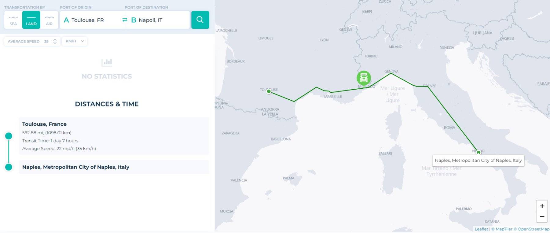
Do you want a linear route from port to port? Or are you looking for an easy way to plan a route and determine the distance and time for a multimodal shipment? In all cases, it is worth choosing the unique Distance&Time module to accurately calculate the distance between the ports or airports that must be on your route.
How does the tool work?
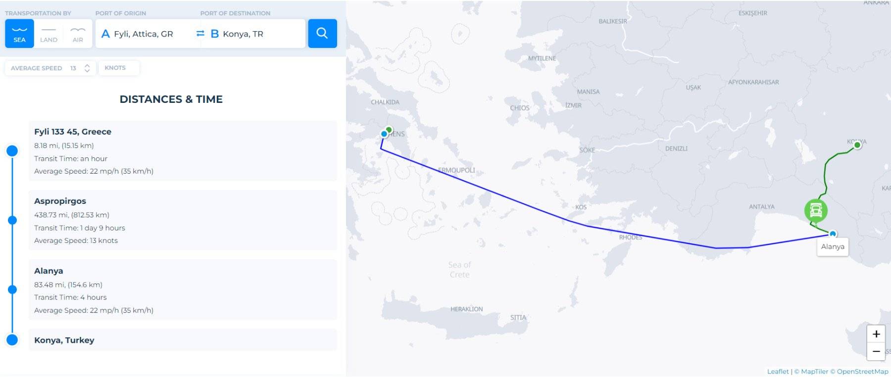
The first step is to familiarize yourself with our user-friendly interface: enter the ports or points of origin and arrival. Select whether you want your shipment to be transported – by sea, air, or land. And get a shipping distance and an estimated time via the module on the world map:
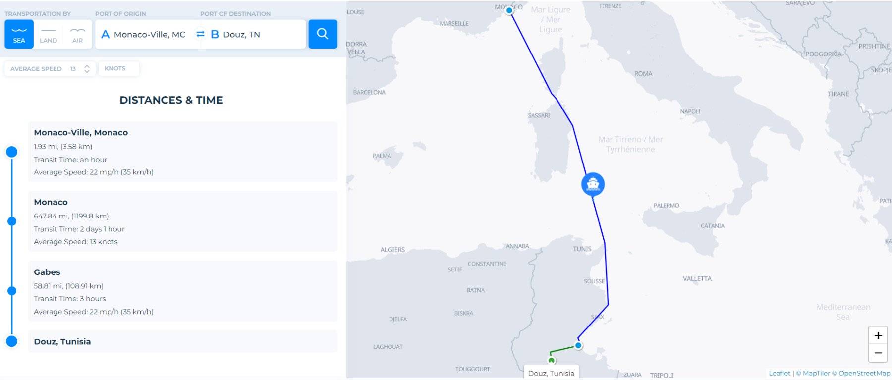
All the information you need is provided to you in a few seconds and a couple of clicks. SeaRates improves Distance&Time with data from ports and locations around the world. This way, get the time and distance for linear or multimodal routes:
The global search for finding the best route
The tool estimates the time and distances between land, air, and sea routes based on data from international shipping lines. We provide you with detailed statistics on transit times for your transportation points. Take your pick from the best options:
Moreover, use this tool to create your own CO2 emissions calculator for your routes. By using it, you can fully control and reduce the negative impact of transportation on the environment.
Opportunities of integration
The Distance&Time tool has three options for use: on the SeaRates.com website, as a widget integrated directly into your website, or as an API linked to any of your systems.
Receive more details on Distance&Time integrations by following the link.
Who is this tool for?
What do freight forwarders and shipping companies get from integrating SeaRates tools? It allows you to improve your logistics business and provide your customers with the most detailed information about shipments in a convenient format. Distance&Time provides the best route for transportation, details on transit time, and distance in a couple of seconds. So, you can easily plan delivery times and keep your supply chain optimized.
Conclusion
Clients will always prefer the most accurate information about the distance over which their cargo is to be transported and the transit time. Now it's your turn to take advantage of simplified data gathering.
Reach out to us at [email protected] to get assistance in implementing SeaRates IT solutions for your logistics process.