Distance & Transit Time Calculator for Sea Routes

什么是 SeaRates Distance & Time 工具?
这是在线计算全球海运、道路、铁路和空运速度和距离所需时间的最简单方法!我们直观的运输速度距离时间计算器随时准备好提供有关运输时间数据和运输路线距离的全面见解,并绘制全球货物运输地图。通过以下方式发现信息并预测全球货物的到达时间 SeaRates 数据库。
请求IT报价


如何运作?
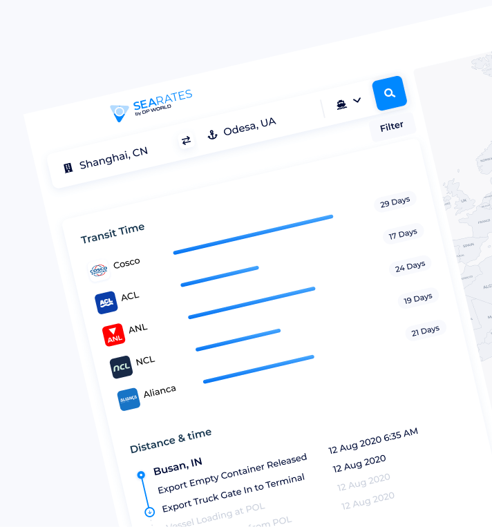
输入出发地和目的地,选择运输方式,通过以下方式获取带有距离时间图表结果的历史运输数据 Distance & Time 工具。想知道如何根据速度和时间找到距离?设置“平均速度”以根据您的需求从运输距离计算器中获取定制结果。探索如何尽可能轻松地计算运输的距离和时间。

什么数据 Distance & Time 基于?
交互式时间距离计算器利用船运公司、海运承运人和物流提供商的数据,这些数据是在过去十年中收集并定期更新的。在线计算时间、距离和速度,高效完成长距离货物运输。


经济高效运输的计算见解
使用 SeaRates 在线距离和运输时间计算器,您可以根据运输类型预测货物运输需要多长时间以及成本是多少。运输成本是否取决于距离?当然!只需几秒钟的计算,您就可以规划出比流行的较长路线更短、更高效的路线,从而节省资源、燃料等。


How long does the shipping transit time take?
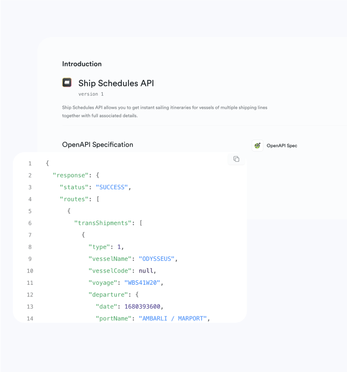
While not all logistics providers can answer this question accurately, SeaRates offers advanced tools to estimate transit time and shipping distance with precision. You can integrate a white-label solution or API from the Distance & Time Calculator to make your website or platform a reliable source of shipment insights. Enable your customers to calculate shipping distance and transit time directly within your platform. Enhance logistics visibility and improve planning with real-time route estimation tools.
它如何为您的业务运作?
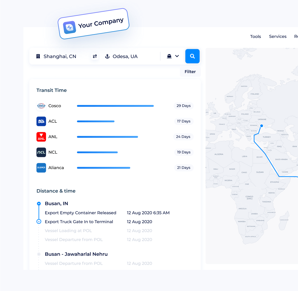
您的潜在客户正在寻找如何查找其货物的时间和距离。在您的网站上配备全面的计算器距离时间速度,他们可以轻松比较并找到货物运输的最佳路线并直接与您预订。全面服务是击败竞争对手的确实方法!物流供应商通常将 Distance & Time 与物流探索器工具集成,实现完整的供应链管理。让您的客户在线创建距离时间图表,然后查找到任何目的地的货运价格,以全面完成任何货物的预订流程!使用全面解决方案开始您的销售之旅,满足任何物流需求。


SeaRates距离与时间常见问题
-
运输时间会因多种因素而异,例如起点和目的地之间的距离、运输路线以及船只类型。通常,海运运输时间从较短路线的几天到远程国际货运的几周不等。例如,上海和鹿特丹等主要港口之间的运输可能需要大约30-40天。您可以使用在线工具轻松检查货物的准确运输时间,这些工具可以计算港口之间的距离并根据当前的运输条件提供估算。
-
The time it takes for a vessel to transit from port to port depends on the sea distance, vessel speed, and port schedules. For example, routes from East Asia to Europe take about 30 days, while East Asia to North America take around 25 days. Port factors, including docking times and congestion, can impact the total transit time. You can use a port-to-port distance calculator to estimate the sea distance between ports and get a more accurate idea of the journey time.
-
海上距离指的是船只在两个港口之间行驶的距离,以海里为单位计量。1海里约等于1.852公里(或6076英尺)。它是航海中用于计算路线、运输时间和燃料成本的关键单位。在线工具可以帮助确定不同港口之间的海上距离。
-
LTL(零担货运输)运输时间是较小货物的交付时间,通常为1至6个托盘,与其他货物共享卡车空间。运输时间可能因多个停靠站和路线而有所不同。要获得准确的估算,请使用LTL运输时间计算器或货运运输时间计算器,它们会考虑起点、目的地和路线来预测交付时间。